Terrainkurweg K3: circular route to the Bismarck Tower

- 2:00 h
- 6.44 km
- 183 m
- 181 m
- 338 m
- 506 m
- 168 m
- Start: Parking lot / Druseltal bus stop
- Destination: Parking lot / Druseltal bus stop
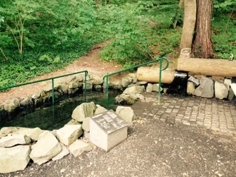
The circular trail, rated difficulty level 3, invites you to take a walk to the Bismarck Tower and the Fritz-Catta-Eck. Half of the 6.5-kilometre trail is uphill and can be completed in 100 minutes. In conjunction with Quellenweg 1, it opens up the Drusel valley from the other side and takes you back to your starting point.
Good to know
Pavements
Gravel (30%)
Trail (70%)
Best to visit
suitable
Depends on weather
Directions
Please follow the K3 markings in the direction indicated. Zeche-Marie-Weg, Bismarck Tower, Fitz-Catta-Eck and back.
Tour information
Good Connection to public Transport
Loop Road
Equipment
Normal hiking equipment required.
Directions & Parking facilities
Getting there
Coming from the city, take Druseltalstraße. The parking lot is located at the final streetcar stop.
Public transportation
Take line 4 from the city center to the Druseltal terminus.
More information
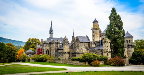
The Bismarck Tower is closed due to construction work.
Author
Organization
Regionalmanagement Nordhessen GmbH
License (master data)
GrimmHeimat NordHessen

Social Media
Nearby


Download GPX file