- 45:00 h
- 133.00 km
- 4,198 m
- 3,965 m
- 120 m
- 562 m
- 442 m
- Start: Weserstein, Hann. Münden, at the large car park Tanzwerder
- Destination: Tannenburg, Nentershausen
The original route from Hann. Münden to the Wartburg dates back to the year 1885 and the Werratalverein e.V. However, due to the inner German border during the Cold War, the route in the Eichsfeld region could no longer be hiked. As a result, the route was redirected to go from Hann. Münden to the Tannenburg in Nentershausen. Since the reunification, both routes are now accessible for hiking, and the trail of the Werra-Burgen-Steig has been extended in recent years to the sources of the Werra River on the Rennsteig.
The alternative route from Hann. Münden to Nentershausen was given the new name Werra-Burgen-Steig Hessen as part of its certification as a quality trail for Wanderbares Deutschland 2013. This is also indicated by the additional "H" in the marking as X5 H, representing the predominantly Hessen section of the trail. Stretching over 133 km, it passes through southern Lower Saxony and the Werratal in the GrimmHeimat NordHessen.
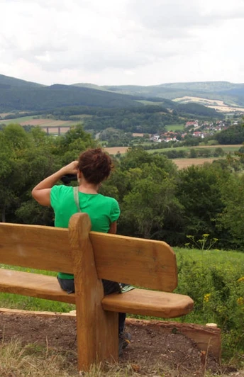
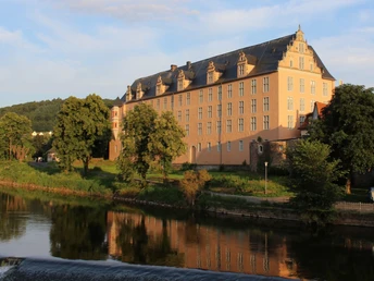
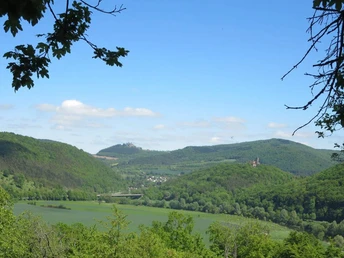
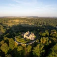
The route connects a series of castles, castle ruins, and palaces, providing scenic views of the diverse landscape of the Frau-Holle-Land Geo-Nature Park.
The trail is divided into eleven sections with distances ranging from 8 to 17 km:
Section 1: From Hann. Münden to Lippoldshausen (8 km)
Section 2: From Lippoldshausen to Schloss Berlepsch (13 km)
Section 3: From Schloss Berlepsch to Witzenhausen (9 km)
Section 4: From Witzenhausen to Burg Ludwigstein (10 km)
Section 5: From Burg Ludwigstein to Bad Sooden-Allendorf (17 km)
Section 6: From Bad Sooden-Allendorf to Hessische Schweiz (12 km)
Section 7: From Hessische Schweiz to Eschwege (16 km)
Section 8: From Eschwege to Röhrda Schieferstein (12 km)
Section 9: From Röhrda Schieferstein to Rittmannshausen (10 km)
Section 10: From Rittmannshausen to Holzhausen (10 km)
Section 11: From Holzhausen to Tannenburg (16 km)
The trail is signposted in both directions and can be accessed through the Geo-Nature Park app (www.naturparkfrauholle.land/app).
Good to know
Pavements
Best to visit
Directions
Tour information
Barrier-Free
Cultural Interesting
Nature Highlight
More information
Langer Qualitätsweg
A long "Wanderbares Deutschlands Quality Trail" meets Germany-wide and transparent standards for particularly attractive hiking trails and is committed to ensuring nature conservation issues and ensuring path maintenance and marking quality. It is recorded and supervised by regional experts and undergoes an inspection process by the German every 3 years hiking association.
More info: https://www.wanderbares-deutschland.de/service/qualitaetsinitiativen/qualitaetswege
Author
Claudia Krabbes
Organization
Nearby
